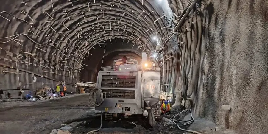
With over 44,000 people living in Drogheda, Ireland’s largest town, excavation work here rarely happens in isolation. The dense medieval street pattern around Laurence’s Gate meets Victorian terraces and modern apartment blocks, meaning any cut deeper than 1.5 metres can influence neighbouring structures within hours. The variable glacial till that underlies both sides of the Boyne reacts differently to dewatering and stress relief, so a standard visual inspection simply does not capture what is happening at depth. We apply continuous geotechnical excavation monitoring to track lateral displacement, vibration, and groundwater change from the moment the first bucket enters the ground, giving contractors and design teams the data they need before small movements become claims.
Real-time monitoring in Drogheda’s glacial till catches movement patterns that visual inspection misses, often days before they become visible at street level.
Local considerations
The contrast between Drogheda’s steep northern bank and the flatter, alluvial south side creates two distinct monitoring regimes within the same town. Excavations on the north side often encounter dense till that stands well in the short term but can develop tension cracks after prolonged dry spells followed by heavy Atlantic fronts—a pattern that appears several times each winter. On the south side, higher groundwater and softer silty deposits mean settlement troughs extend further behind the retaining structure, sometimes reaching utilities laid in the 1970s that were never designed for differential movement. Without instrumented monitoring, a contractor may only learn of a problem when a water main fails or a crack appears in an adjoining building. Our approach treats the whole influence zone as a single system, correlating excavation stage with rainfall, vibration from compaction plant, and pore pressure response so that mitigation—whether revised propping or localised grouting—can be deployed before the condition deteriorates.
Frequently asked questions
What does geotechnical excavation monitoring typically cost in Drogheda?
Most programmes in the Drogheda area range from €770 for a short-duration single-parameter installation up to approximately €2,370 for a fully instrumented excavation running several weeks with daily reporting. The final figure depends on the number of monitoring points, the depth of the cut, and the sensitivity of adjacent structures, all of which we assess during a pre-start site walk.
How often are readings taken during a typical Drogheda excavation?
For most urban projects we read inclinometers and piezometers at least once per day during active excavation, with automated total stations sampling every 30 to 60 minutes. Frequency drops to two or three times per week during static periods unless trigger values are approached, in which case we increase the rate immediately and notify the temporary works designer.
Which parameters matter most when excavating through Drogheda’s glacial till?
Lateral movement at the top of the retained face and groundwater drawdown behind the wall are the two dominant parameters. The lodgement till can be stiff but fissured, so perched water often appears at depths that were dry during the site investigation. We track both total head and displacement vectors so the team can distinguish between consolidation settlement and shear-related movement.
Can you monitor vibration impact on historic buildings during excavation?
Yes. Many Drogheda projects sit within metres of protected structures, so we deploy triaxial geophones on load-bearing elements and set limits aligned with BS 7385 and the contractor’s agreed method statement. Alerts are triggered in real time if peak particle velocity exceeds the threshold, allowing the site team to adjust equipment or sequence before damage occurs.